What We Do

Our Services
The Secretary of the Interior, through the U.S. Fish and Wildlife Service (Service), is responsible for maintaining the official maps of the CBRS and making recommendations to Congress for appropriate changes to the boundaries; consulting with other federal agencies regarding federally funded projects proposed within the CBRS; and working with property owners, project proponents, and other stakeholders to determine whether a specific property or project site is located within the CBRS.
Our Projects and Initiatives
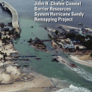
The Service is committed to ensuring accurate and user-friendly maps depicting the CBRS. Through a series of mapping projects, we continue to make progress in modernizing maps for the CBRS using digital technology. These efforts significantly improve public access to information, increase efficiency for infrastructure project planning, and increase accuracy and timeliness in determining whether individual properties are located with the CBRS. View our story map to learn more.

Our Laws and Regulations
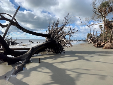
CBRA and its amendments are administered by the Service and affect all federal agencies that spend funds or provide financial assistance within the designated CBRS units. CBRA is a free-market approach to conservation that does not prohibit or regulate development conducted with non-federal funds.
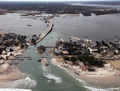
The Bolstering Ecosystems Against Coastal Harm Act or BEACH Act (Pub. L. 118-117), enacted on November 25, 2024, requires all affected federal agencies to revise or issue regulations and guidance to ensure compliance with CBRA for their federally funded projects and financial assistance.
Latest Stories and Topics


Our Library

Whether you are looking for additional information about the Coastal Barrier Resources System, our current mapping projects, or official maps, you can find it here in our library.