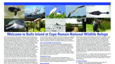
Cape Romain NWR Bulls Island

This is a sheet map of the Bulls Island service roads and trails that give distance in miles for walking each from the public dock. An overview of the island's history and historic sites, wildlife, and viewing areas is provided.

Author(s)
Bob Raynor
Publication date
Type of document
Map
Facility
Loggerhead sea turtle hatchling in shallow surf heading to the ocean at Cape Romain NWR
Cape Romain National Wildlife Refuge, extending 22 miles along the South Carolina Coast, is a rich mosaic of barrier islands with forest and ponds, vast salt marshes and intricate waterways. This diverse and dynamic system supports over 293 bird species and a myriad of other wildlife. Over fifty...
FWS and DOI Region(s)