Photo By/Credit
Paulina Jones/USFWS
Date Shot/Created
Circa 2020sMedia Usage Rights/License
Public Domain
Image
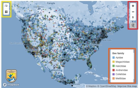
This is an interactive portal, informally known as the Bee Tool, that allows for rapid assessment of apparent bee species richness and distribution throughout the United States, Canada, and Mexico. The lasso and polygon tools are highlighted in yellow box in upper-left corner of map. Zoom features highlighted in red in upper-right corner of map. Map legend highlighted in orange in bottom-right corner of map. For more information contact thebeetool@fws.gov.
