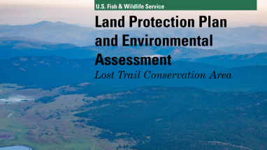
The Lost Trail Conservation Area authorizes the U.S. Fish and Wildlife Service to acquire up to 100,000 acres of conservation easements from willing sellers within an acquisition boundary encompassing 120,000 acres (See map). No fee-title acquisition by the Service will be authorized. These conservation easements will provide perpetual protection of critical, state-identified wildlife corridors, and public access for sportspersons and outdoor enthusiasts, and will allow for continued sustainable timber harvest that supports the local economy.
Publication date
Type of document
Land Protection Plan
Program
FWS and DOI Region(s)

