Photo By/Credit
Kathryn BullinerDate Shot/Created
04/19/2024Media Usage Rights/License
Public Domain
Image
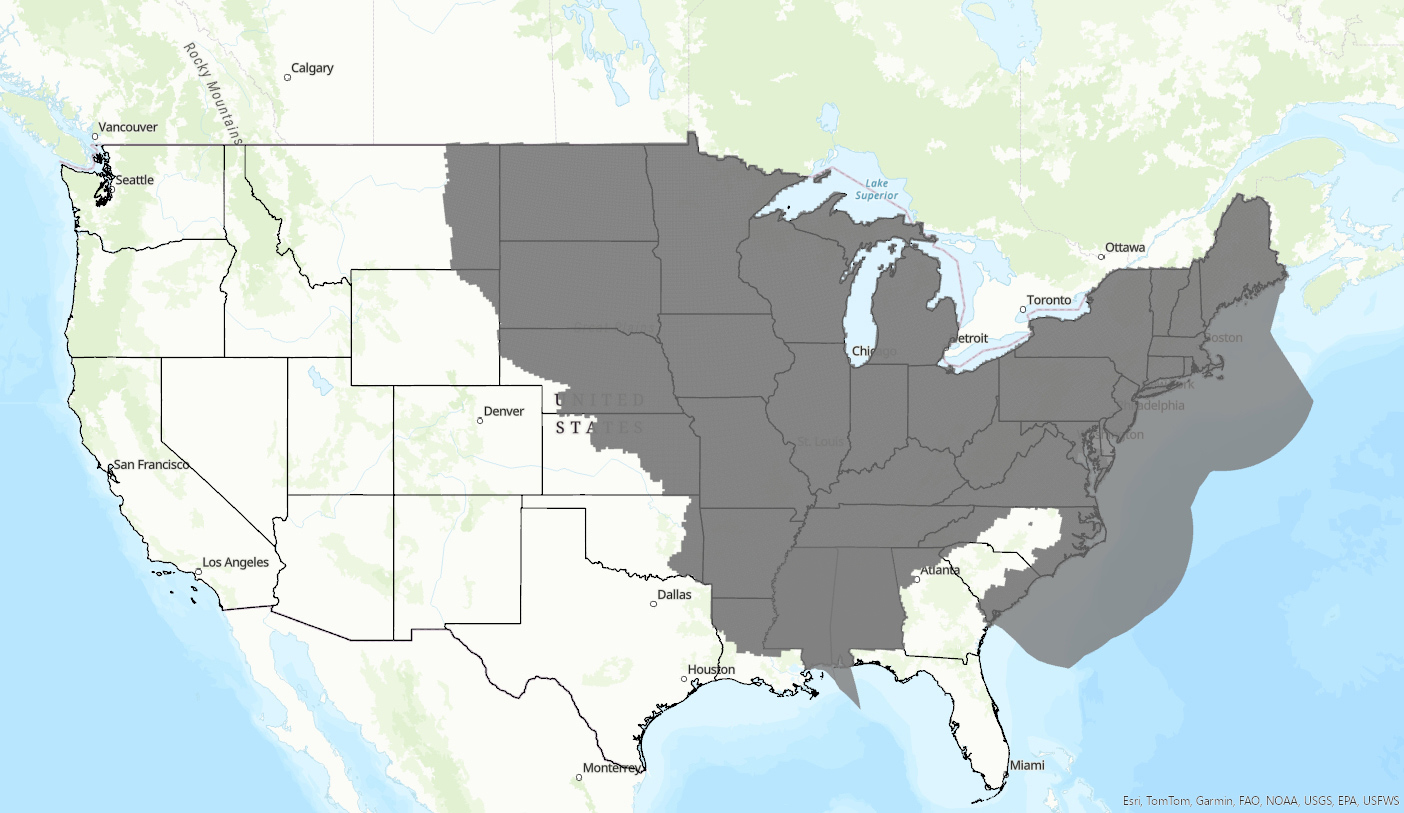
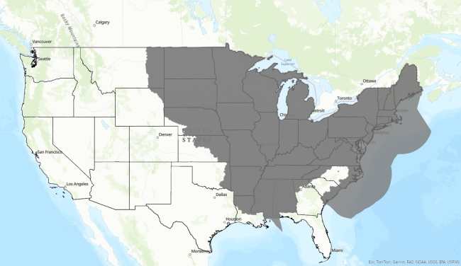
Wind range map to be used when evaluating the impacts of wind projects on NLEBs. Local Field Offices will provide further guidance. Click the link to find your local Field Office and contact information.