Photo By/Credit
Nathan Zimpfer/USFWSDate Shot/Created
08/13/2021Media Usage Rights/License
Public Domain
Image
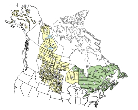
Strata (numbered) and transects of the Waterfowl Breeding Population and Habitat Survey (yellow = traditional survey area, green = eastern survey
area).
area).
Species
