
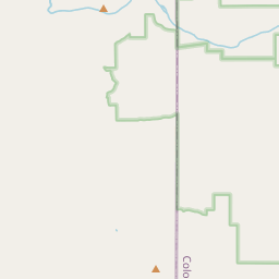
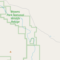
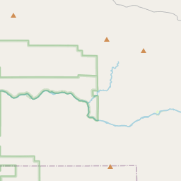


- Browns Park National Wildlife Refuge1318 Highway 318 Maybell, CO 81640-9707
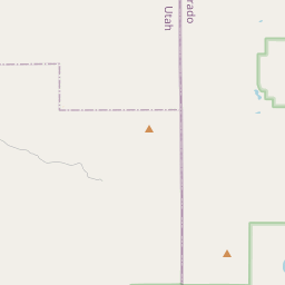
The Refuge Headquarters is located in northwest Colorado approximately 1 mile from the Utah border. The Refuge encompasses both sides of the Green River and nearby lands from the Colorado/Utah border downstream to the Gates of Lodore.
Driving DirectionsThere are several routes available to reach the Refuge Headquarters, depending on your direction of travel and local weather conditions.
Craig, CO: Drive 31 miles west on Hwy 40 and turn right on Hwy 318 after passing through Maybell, CO. Follow Hwy 318 for 60 miles to the Refuge Headquarters.
Vernal, UT: There are two possible routes depending on the season and weather conditions.
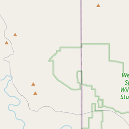
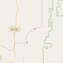
- The most reliable route is 81 miles total and involves following Hwy 191 around the Flaming Gorge. From Vernal, drive 52 miles north on Hwy 191 and turn right on the Browns Park Road just inside Wyoming. Follow this road for approximately 28 miles until you see the Refuge Headquarters 1 mile east of the Colorado-Utah border.
- During good summer weather an alternative route is to drive 50 miles over Diamond Mountain (this requires a 4x4 high-clearance vehicle). Turn east on 500 N St. and follow it approximately 26 miles, during which the name changes to the Jones Hole Road. After 26 miles, turn left on Browns Park Road 1250 and follow it approximately 17 miles to the Swinging Bridge. Drive over the bridge and follow CO-83 north to Hwy 318. Turn left on Hwy 318 to reach the Refuge Headquarters just down the hill. Much of this route is gravel and dirt roads. Please note that the Swinging Bridge is 8' wide and not all trailers will fit between the bollards.
Rock Springs, WY: There are two possible routes depending on the season and weather conditions.
- The most reliable winter route is 93 miles total. Drive 77 miles south on WY-430 (paved), which changes to CO-10N (gravel road) at the state border. When CO-10N meets Hwy 318, turn right and drive 16 miles west to the Refuge Headquarters. This route includes 22 miles of well-maintained gravel road.
- The alternative route is 85 miles total. Drive 51 miles south on Hwy 191 and turn left on the Browns Park Road. Follow this road for approximately 28 miles until you see the Refuge Headquarters 1 mile east of the Colorado-Utah border. This route includes 2 miles of gravel road.
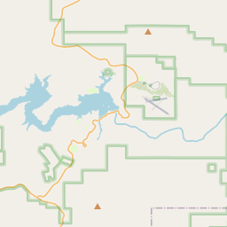
To see a map of the Refuge, visit the Maps page or search our address: 1318 Hwy 318, Maybell, CO 81640
Due to the remote location, visitors should bring sufficient water, food, and fuel for their visit since there are no nearby services. Cell phone signal is unreliable in this area. Call the Refuge staff at 970-365-3613 if you have questions about visiting Browns Park.
Headquarters BuildingMonday-Friday (excluding all federal holidays)As staff are available or by appointmentRefuge HoursYear-RoundSunrise - SunsetDuring Refuge authorized hunting seasons1.5 hours before Sunrise - 1.5 hours after Sunset