1211 SE Cardinal Ct
Suite 100
Vancouver, WA 98683
United States
About David Hines
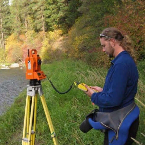
David uses Geographic Information Systems (GIS) to make maps of Fisheries related information such as fish habitat, watersheds, barriers, temperature and flow data, or sample sites. His work includes setting up GPS and field computers for field data collection and surveying equipment. David also creates databases for field survey and hatchery data, and periodically teaches classes about GIS, GPS, and database development.
Program: GIS and Data
Current projects:
1. Updating the Pacific Region Hatchery database
2. Designing and implementing management solutions for large datasets such as
a. Storing capture-related information for Bullfrog eradication at Conway Lake NWR
b. Configuring databases at refuges throughout LR1 for identifying bats using acoustic data
c. Tracking hatchery inspections for Pacific Region FHP
3. Collaborating with ES on updating distribution and status assessment data for Bull Trout
4. Exploring digital data collection methods for streamlining data collection and analysis in the field
5. Serving on the GIS Steering Committee
6. Teaching CSP1003 (Field Data Management) and CSP7100 (Intro to GIS) at NCTC
Background:
David has previously worked at the Arcata Fish and Wildlife Conservation Office (FWS) and Redwood National Park (NPS).
At CRFWCO since: 2006

