Suffolk, Va. -- The U.S. Fish and Wildlife Service and partners today highlighted new water control structures at Great Dismal Swamp National Wildlife Refuge designed to lessen flood risk to nearby communities, dampen the effects of wildfire and drought and improve water quality for wildlife and people.
The work is part of a nearly complete $3.13-million project supported by federal funding for Hurricane Sandy recovery and resilience.
“The project we’re celebrating today is part of a larger effort across the Atlantic Coast to strengthen natural areas for wildlife, enhance recreational opportunities — such as fishing, hiking, and wildlife watching — and protect communities,” said Deb Rocque, deputy regional director for the Service’s Northeast Region. “It not only merges visionary science with conservation actions to manage water for the benefit of people and wildlife; it is also designed to help the refuge and surrounding communities endure changes yet to come.”
Project partners, including federal, state, and local government and non-governmental organizations, were on hand as refuge staff demonstrated how the structures will simulate a natural water regime. Made of heavy-duty aluminum, they serve as small, adjustable dams, regulating the amount of water that leaves the swamp.
“I’m elated that the Great Dismal Swamp National Wildlife Refuge has received the financial support needed to help prevent flooding in nearby communities, improve water quality and stabilize natural habitats,” said Congressman Donald McEachin (VA-04). “Our national wildlife refuges need to be protected and preserved for future generations. Making our coastal communities more resilient is an important investment in our future -- and this project at Great Dismal Swamp shows what that can look like.”
For more than 200 years, people worked to drain the Great Dismal Swamp, building ditches throughout to create dry conditions for loggers, who sought to clear the land of trees, then turn it over to farmers. In 1974, however, Union-Camp Corporation donated 49,000 acres to create a refuge. The Service inherited a national treasure, but one whose forests and hydrology, or water movement, had been greatly altered. The refuge, which spans portions of Virginia and North Carolina, is now 112,000 acres.
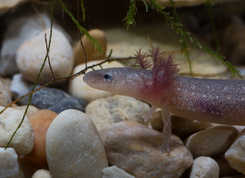
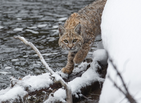
Using the new water-control structures, refuge staff plan to re-moisten long-dry peaty soils and restore a more natural water regime. Plants and wildlife that thrived there before ditching and logging, such as Atlantic white cedar, bald cypress, red-cockaded woodpeckers, black bears, wood ducks, and neotropical migratory birds, should gradually return, as more natural conditions take over. Water quality will improve, benefiting local communities.
“While there’s no way to restore the swamp to its original state,” said Refuge Manager Chris Lowie, “our hope is that the 14 water control structures will help us increase its biodiversity and resilience to catastrophic events in the future.”
A study done by the U.S. Geological Survey (USGS) showed that water movement patterns vary throughout the refuge. Because of this, says USGS Hydrologist Gary Speiran, “The water-control structures will be critical to meeting habitat management goals and increasing wildlife diversity.”
The rehydrated peat will absorb stormwaters more efficiently during severe weather, acting like a sponge to reduce flooding. Managers can release water from the swamp ahead of storms, increasing its ability to absorb rainfall, and then release the rain waters slowly to assist in protecting downstream communities like Deep Creek, Va. Healthy peat also stores carbon, reducing atmospheric levels of the greenhouse gas.
A healthier swamp will lower the risk of wildfire and its harmful effects, including smoke exposure, to residents and tourists in surrounding communities. More water will be available for fighting any fires that do occur. There are 1.5 million people within an hour’s drive of the refuge, and smoke from past fires has reached Philadelphia and Washington, D.C.
When the project is complete, refuge staff will monitor surface water and groundwater levels, looking for changes in the swamp’s hydrology. This data will be used to adapt water management strategies to achieve refuge management goals.
Partners in this project are the U.S. Geological Survey Land Carbon Program; U.S. Geological Survey Virginia Water Science Center; North Carolina Dismal Swamp State Park; U.S. Army Corps of Engineers; the cities of Chesapeake and Suffolk, Virginia; The Nature Conservancy; and several others.
“Large-scale restoration of this kind—shaped from a vision more than 40 years ago when the refuge was first established—is a great victory,” said Bill Kittrell, acting state director of The Nature Conservancy in Virginia. “This is a valuable lesson about how patience, strong science, and steady focus can achieve big conservation wins.”