Written By

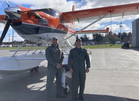
This year we started our journey to survey waterfowl in Boise, Idaho, to pick up our aircraft that had just come out of inspection. My observer, Joe Sands, and I then flew to Great Falls, MT for the start of the survey.
On the way to Great Falls, we could tell based on how the ducks were pairing up and diversity of species we observed that conditions were favorable for us to start. As we flew to the east in Montana, it was good to see that favorable breeding habitat conditions had continued from last year, even though portions of the border with the Dakotas looked a bit drier. I used to fly this area along with the western Dakotas before moving to the Alberta crew area in 2019 to take the place of Jim Bredy, who retired. Currently, the western Dakota and eastern Montana crew area has been divided amongst Phil, Terry, and me, and we all add an extra week to our flying schedule to make sure it gets completed.
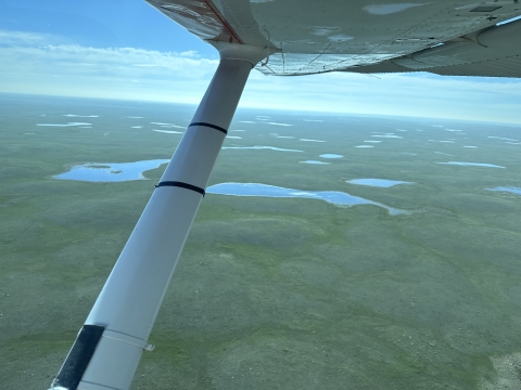
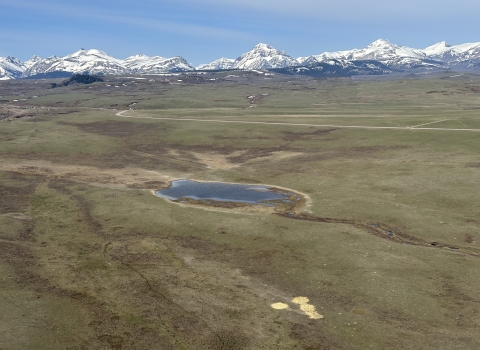
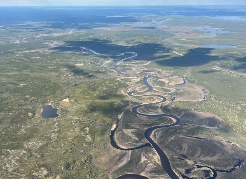
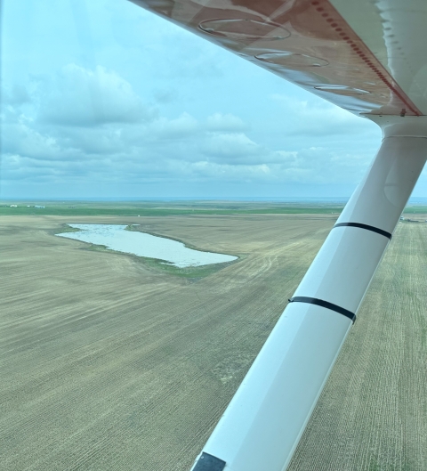
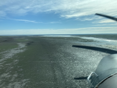
Continuing our journey northward from Montana to southern Alberta, we could see the benefits of the recent rains that occurred over the past week near the Rocky Mountains with most ponds full and some sheet water present in the fields. Conditions had been dry prior to the last couple rounds of storms that helped to replenish wetlands. However, by the time the rains arrived, ducks had already moved on and found more suitable habitat to use. Wetland habitat dried out considerably as we moved to the east across southern Alberta. The eastern portions of the province were in a drought for the past couple of years and good breeding habitat for waterfowl was intermittent and hard to find. Many of the ponds that had water were overcrowded with birds and there was little shoreline vegetation to offer nesting cover. I guess no one told them that it rained to the west! Overall, there was a general habitat theme throughout the southern Alberta area up to about Cold Lake: better habitat was found to the west and poorer habitat to the east. As we moved to the northwest near Grand Prairie and Peace River, conditions were pretty dry with many of the wetlands and rivers at very low levels. Many of the temporary wetlands were dry but most of the permanent wetlands held at least some water. Overall, in our survey area, habitat conditions were mostly fair with some good and some poor areas.
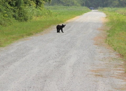
For fun, Joe and I also count bears and moose on the survey and this year did not disappoint. It was a record year for black bear (17) and moose (28), but unfortunately, we did not see any brown bears near Glacier or Waterton National Parks as we sometimes do. Of course, we see many whitetail deer, mule deer, elk, and coyote. Occasionally, we fly over a lek of sharp-tailed grouse and when disturbed, large groups of them take flight, locking their wings to glide down to lower terrain which is always interesting to observe. It was a long, but good survey. Thanks to Joe for being a great observer and travel partner and to the Canadian Wildlife Service for their work on the ground counting birds to correct for the ones we miss in the air. After this survey is complete, then I head to northern Quebec to fly the Atlantic population of Canada goose survey. Talk to you then!