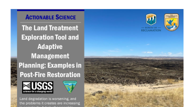
The Land Treatment Exploration Tool and Adaptive Management Planning: Examples in Post-Fire Restoration CART Case Study Handout
Land degradation is worsening and the lack of accessible information about landscape characteristics and past management methods can hinder future management efforts. Thus, the BLM and USGS developed the Land Treatment Exploration Tool (Exploration Tool) to synthesize complex datasets, making them accessible to management offices regardless of technical capabilities. It is currently primarily used in emergency stabilization and rehabilitation (ESR) and post-fire recovery planning.
Read the full case study here: https://www.fws.gov/project/grasslands-land-treatment-exploration-tool-and-adaptive-management-planning
Type of document
Fact Sheet
Media Usage Rights/License
Public Domain
Program

