On December 18, 2018, the U.S. Fish and Wildlife Service will make available for public review and comment proposed revisions to the boundaries of the Coastal Barrier Resources System (CBRS) in Connecticut, Maryland, New York (Long Island), Rhode Island and Virginia. The revisions also affect one CBRS unit in Massachusetts. There will be a 120-day public comment period on the proposed changes.
The proposed changes will help ensure the continued effectiveness of the CBRS in protecting public safety and conserving natural resources and wildlife, while saving American taxpayer money. Since 1982, the Coastal Barrier Resources Act (CBRA), under which the CBRS is authorized, has saved millions of dollars in avoided taxpayer spending for construction and repairs to infrastructure in ecologically sensitive and hurricane prone areas along the coast.
CBRA removes federal incentives to develop these areas but imposes no restrictions on development conducted with private, state or local funds.
If adopted by Congress, the revisions will remove areas from the CBRS that were mistakenly included due to outdated, imprecise mapping technologies, and add new qualifying areas. Based on a set of objective mapping criteria, the proposed revisions affect the boundaries of 256 existing CBRS units and propose 54 new units. The proposed changes would remove 643 structures (mostly residential buildings) from the CBRS that were mistakenly included due to mapping errors, and add 96 structures that are located in highly vulnerable areas with high flood risk exposure.
More than half of the structures proposed for addition are on public lands or parks; the remainder are on private land. While new construction on private land within CBRS units does not qualify for federal flood insurance, there is a grandfathering provision that allows structures already built at the time of inclusion into the system to maintain federal flood insurance until such time that the structure structure
Something temporarily or permanently constructed, built, or placed; and constructed of natural or manufactured parts including, but not limited to, a building, shed, cabin, porch, bridge, walkway, stair steps, sign, landing, platform, dock, rack, fence, telecommunication device, antennae, fish cleaning table, satellite dish/mount, or well head.
Learn more about structure is substantially improved or damaged.
Nationally, the CBRS contains 862 geographic units that encompass 3.5 million acres of relatively undeveloped areas along the Atlantic, Gulf of Mexico, Great Lakes, U.S. Virgin Islands, and Puerto Rico coasts.
Undeveloped coastal barriers coastal barriers
Learn more about coastal barrier landforms.
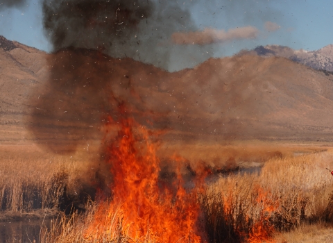
Learn more about coastal barriers and wetlands are critical in protecting inland areas from destructive weather forces, providing a buffer against high winds, waves and storm surges. They protect public safety and the substantial investments along mainland coastal communities. For instance, a 2016 study by Lloyd’s Tercentenary Research Foundation showed that wetlands avoided $625 million in direct flood damages during Hurricane Sandy alone.
Coastal barrier ecosystems are also home to vital natural resources such as coastal wetlands that are the drivers of many local coastal economies. They also provide habitat for diverse wildlife, including migratory birds, marine and coastal mammals, fish and invertebrates in wetland, estuarine and marine environments.
The comment period on the proposed revisions closes on April 17, 2019. The proposed boundaries can be viewed on the Service’s website at https://www.fws.gov/project/hurricane-sandy-remapping-project. The website also contains information on how to submit public comments and participate in virtual public meetings to be held via webcast and teleconference. Following the close of the public comment period, the Service will assess comments received, make any appropriate changes, and prepare final recommended maps for transmittal to Congress.
Latest Press Releases