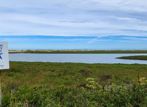
National Wetlands Inventory Assisting State Conservation
In 2019, the U.S. Fish and Wildlife Service's National Wetlands Inventory (NWI) Program partnered with the West Virginia Department of Environmental Protection (WVDEP) to map 2.8 million acres of the state's most important wetland habitats. These new maps, recently released on the Wetlands Mapper, are already being used to enable strategic conservation, including protection of rare species.
Learn about the important role WVDEP plays in protecting these vital resources and how NWI data help accomplish state goals and fuel conservation.


