The final revised digital maps are available from the U.S. Fish and Wildlife Service for all the John H. Chafee Coastal Barrier Resources System John H. Chafee Coastal Barrier Resources System
Learn more about the John H. Chafee Coastal Barrier Resources System, which was established under the Coastal Barrier Resources Act in 1982.
Learn more about John H. Chafee Coastal Barrier Resources System (CBRS) units in Puerto Rico and the U.S. Virgin Islands, as well as 14 units in Louisiana. The maps cover areas totaling 514,834 acres, which is approximately 15 percent of the entire CBRS. The maps were produced per a directive in the Coastal Barrier Resources Act that requires a review and update of the maps at least once every five years to reflect changes in coastal barriers coastal barriers
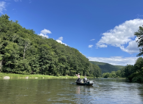
Learn more about coastal barrier landforms.
Learn more about coastal barriers from natural forces. The revised maps do not correct mapping errors affecting private property owners, which require a separate review effort and must be adopted by Congress through legislation.
The CBRS was established in 1982 to help save taxpayer dollars and reduce the intensity of development within hazard-prone and ecologically sensitive coastal areas. The CBRS comprises a total of 862 geographic units that encompass 3.4 million acres of relatively undeveloped coastal areas located along the Atlantic, Gulf of Mexico and Great Lakes coasts, as well as Puerto Rico and the U.S. Virgin Islands. Most new federal expenditures and financial assistance that encourage development are prohibited within the CBRS, including federal flood insurance. However, development can still occur provided that private developers or other non-federal parties bear the full costs.
The updated maps were produced through a digital conversion project in partnership with the Federal Emergency Management Agency. The Service has digitally converted maps for all other CBRS units except for Massachusetts, Rhode Island, Connecticut, and the Long Island portion of New York.
The revised maps and additional information about the CBRS can be found at www.fws.gov/cbra.