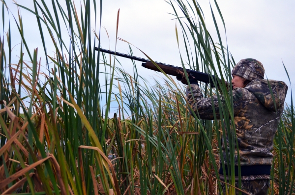
The Minnesota Valley NWR is a hunter's getaway from the urban and suburban areas of Minneapolis and St. Paul. The refuge is located in a green belt of large marsh areas, bordered by office buildings, highways, residential areas and grain terminals. While this may seem like an unusual place for hunting, the refuge lands allow hunters to get away from the city noise and experience wild country near home. Comprised of eight main units totaling over 14,000 acres, the refuge encompasses 45 miles of the Minnesota River. A variety of hunting opportunities are offered, in accordance with Minnesota state regulations and refuge regulations specific to each unit.
View Hunting and Fishing Brochure
Duck Lane Closure
Due to severe damages caused by regular flooding, Minnesota Valley National Wildlife Refuge has closed Duck Lane at Louisville Swamp for motorized vehicles past the first parking lot and gate. Visitors may continue to access refuge lands by parking in the initial lot and using a non-motorized means of transportation past this point. Click here to view map for more details.
General Information
Select areas of the Refuge offer specific hunting opportunities during Minnesota state seasons, including opportunities for youth and people with disabilities. All Minnesota state regulations and Refuge-specific regulations pertaining to hunting will be enforced.
- A Minnesota state hunting license is required for all hunts on all Refuge and Waterfowl Production Area lands.
- All visitors, including hunters, must follow Refuge rules and regulations.
- To report a wildlife violation, call 1-844-FWS-TIPS (397-8477).
- Trapping is not permitted at Minnesota Valley National Wildlife Refuge.
- Trapping is allowed on Waterfowl Production Areas, and you must follow Minnesota state trapping regulations.
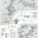
- Not all areas of Minnesota Valley National Wildlife Refuge are open for hunting. Hunting regulations and maps can be found at hunter kiosks on the Refuge, at our Visitor Centers, and online.
- No public hunting opportunities are found at the following units: Long Meadow Lake, Black Dog, Bloomington Ferry, Upgrala, Chaska, and San Francisco
- Trail maps for public trails on Refuge lands can be viewed and downloaded here.
- State of Minnesota concealed-carry permits are not valid within Federal buildings.
- Entry into the Refuge earlier than 2 hours before legal shooting hours is prohibited. Hunters must leave the Refuge no later than 1 hour after legal shooting time ends.
- No items can be left overnight on Refuge or Waterfowl Production Area lands.
Know Before You Go
- Trail conditions can change quickly. Visit our trail report web page to plan your trip.
- It is recommended that non-hunting trail users remain on trail and wear an article of blaze orange or pink when in areas of the Refuge where hunting occurs. Biking off trail is prohibited.
- Some areas of the Refuge do not have good cell phone service. Always communicate your plan to others.
- Dial 911 for medical or safety emergencies.
- Refer to Minnesota's hunting information for state regulations and seasons. Know that any Refuge regulations listed below or found in our Refuge hunt brochure and map supersede State regulations.
- We encourage all trail users to take steps to be proactive about their safety. We recommend all visitors wear bright orange or pink during hunting seasons, and require pets to be leashed at all times.
Refuge Hunting Seasons
Refuge-specific regulations supersede State regulations.
Special Hunts for Fall 2025
Special hunts are reserved hunting sessions not open to the general public and may occur in refuge areas closed to general hunting.
Long Meadow Lake and Bloomington Ferry Unit
- 10/6-10/8 – Metro Bowhunter Resource Base – Archery Deer Hunt
- 11/3-11/5 – Metro Bowhunter Resource Base – Archery Deer Hunt
- 12/1-12/3 – Metro Bowhunter Resource Base – Archery Deer Hunt
Louisville Swamp Unit, south of the Middle Road Trail
- 10/25-10/26 – MN DNR Learn To Hunt – Ardent Archers Crossbow Deer Hunt
- Area south of the Middle Road Trail will be closed to all public access


